It was just another typical February thaw. Or was it?
It happens just about every year in southern Ontario, where the frost giant’s grip loosens and the world around us melts away. Considering NOTL lies in the ‘banana belt’ of the country, sometimes it happens on our peninsula but not elsewhere, north of Toronto, for a while longer.
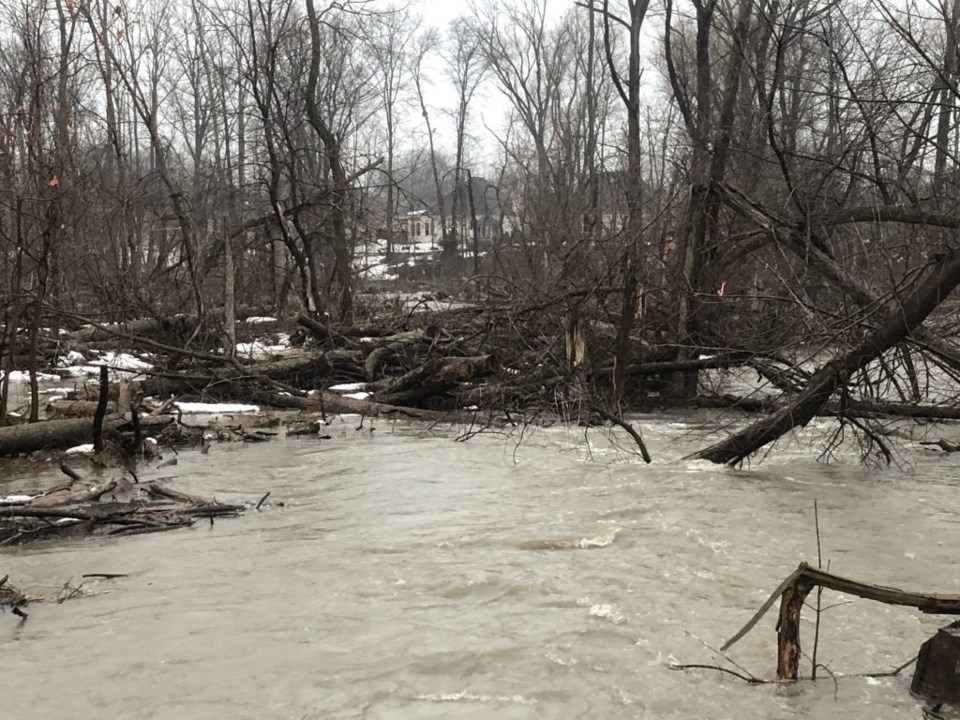
Sorry for the newsflash, but a spike in temperature and the arrival of warm rain in February does not mean winter is over yet. Surely we will plunge back into a frigid vat of snow once more before with back-to-back snowstorms in mid-January, plus warm subtropical air and precipitation pushing north from the Gulf of Mexico, the stage was set last week for a serious change of plans for water in the area. The dense snowpack was liberated from its solid form, and it leaked, spread, and even rushed across the landscape in some areas. In certain instances, remnant ice blockades impeded the water from getting to where it needed to be, resulting in massive pooling in vineyards and people’s front yards.
Certain creeks and low spots, especially from what I could observe around the Virgil area, seemed at the highest they have been in decades. Meanwhile, our friends in Brampton dealt with more than 100 homes impacted, and roughly half of those residences had to be evacuated — some by rescue boat.
Could we say that climate change is the direct cause of this? Not necessarily, as climate change takes years and decades of gathered data to create a notable trend. In other words, a significant weather incident is bound to happen every so often, and some are rarer than others. However, this single and extreme event doesn’t represent the entire theme of climate change as a stand-alone event. It is a mere data point contributing to a much broader pattern that could one day help further amplify that climate change is happening — if we continue to see higher frequency and intensity of these floods.
The science is out, and climate change is real. The tricky part about getting the population and every politician to fully accept this is how slowly it occurs, and how impacts may take decades to fully realize the consequences. In other words, if we started having floods like this every year, and perhaps they became even more severe, then we could start to recognize a trend forming.
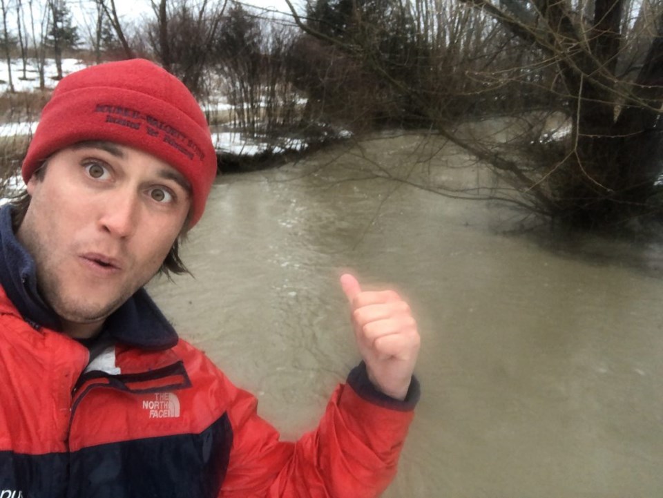
Driving to work, I was already excited to get off work on the way there — the ditches had turned to creeks and creeks had turned into little rivers. I had a camera ready for the visually shocking day.
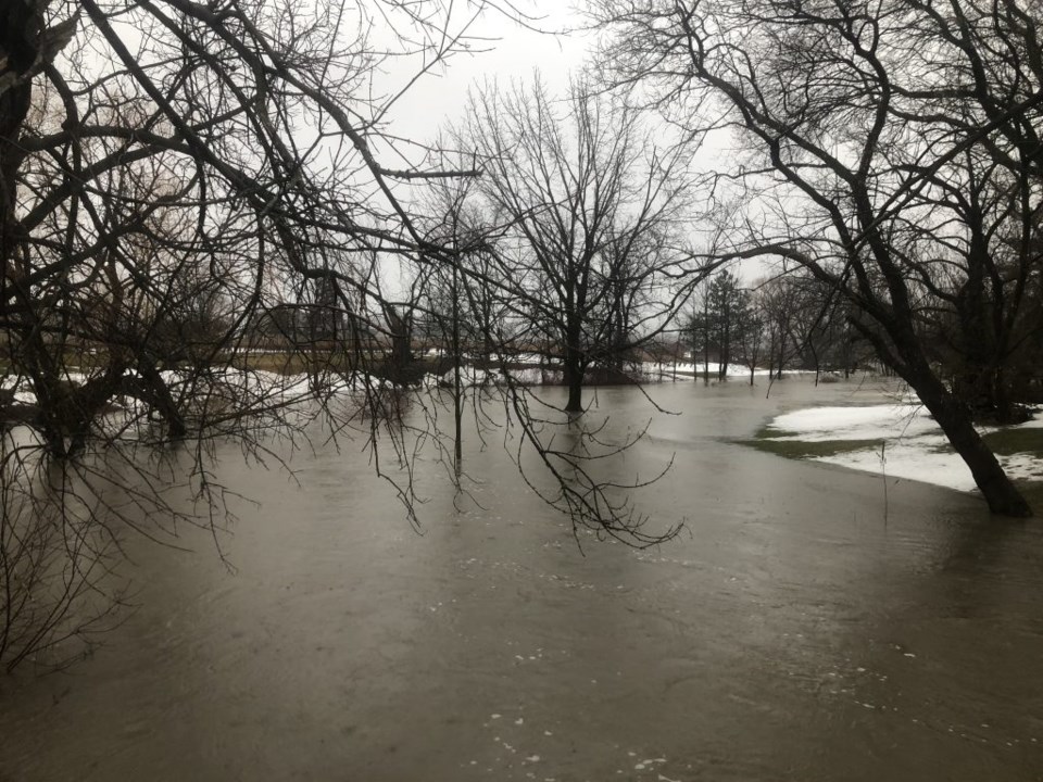
My first stop was at our Red Roof Retreat property, where the creek, a tributary of Four Mile Creek, was hitting a record-breaking high mark from what I’ve seen since roughly 2000. Looking at any creek and the surrounding landscape, you can deduce where the historic water lines are. They are the various shelves and ridges flanking the creek, marked by a change in elevation where that creek historically moved the earth around. Hence, the existence of terms like the 1/10, 1/50, and 1/100 year flood lines.
The farm’s creek was just a foot away from the once in a century mark. The creek was at its absolute highest banks, as it tunnelled its way through our property like a giant brown serpent. If it had breached the banks at a few spots, it would have spilled over into an area of land that statistically only sees creek water every 100 years or so.
I tell you what, rushing and elevated levels of water make my heart rush too. Call me an odd duck, but I get particularly excited and energized by high water events. There is something primal about our innate connection to the power of water. The life-giver and the life-taker alike, thankfully the former in larger quantities. I’ve dealt with floods in places like Australia and Ecuador before, but at least there, hypothermia isn’t really an issue if it gets too close to home.
Around 2011, we recreated and regenerated the wetlands at Red Roof Retreat for both the human and ecological benefits. The wetlands slow the incoming water influx, but also serve as a catchment sponge should the creek ever burst its banks, which it nearly did last week.
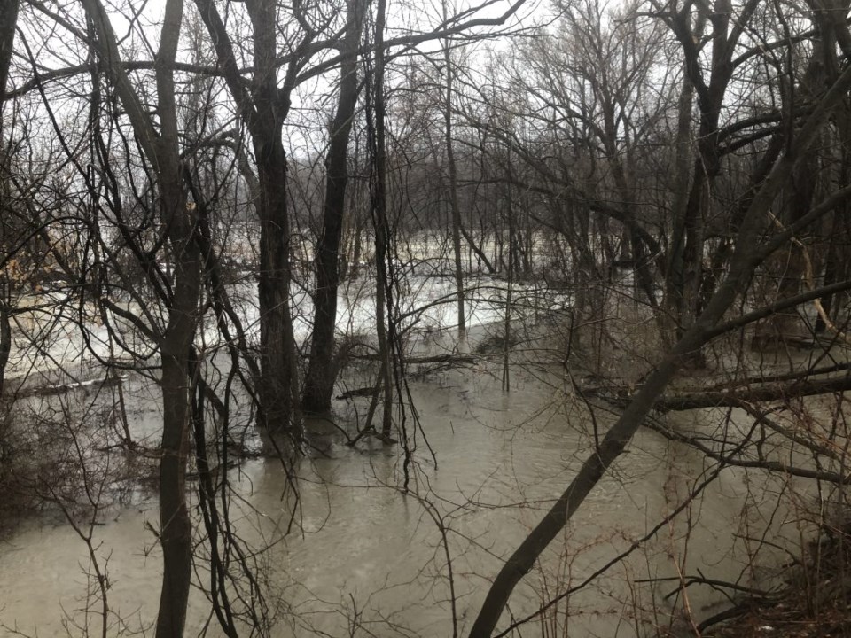
After taking notes and visual measurements of what was unfolding on my property, I took the remaining hour of daylight to cruise to some of my favourite creek vantage points across NOTL to snap some photos. Naturally, I had to go with the flow of this borderline historic situation.
I checked out the overpass by East-West Line and Concession 6, where Four Mile Creek was as wide as a river. Across from Enns Battery and Tire, the creek had spread a brown layer of water westward and into the adjacent orchard. From the same general area, a friend of mine on social media posted images of firewood and outdoor furniture floating around in his backyard. Minutes up the road and behind the historic Butler’s Burial Ground, Two Mile Creek’s flood plain was serving its exact purpose as it has been doing since before Colonel John Butler or any European settler even arrived in Canada. It was awash with about a foot of water proceeding through the whole valley toward Lake Ontario.
I have personally never seen the water so high or a snow dumping so profound as this winter.
Have you? If so, I’d love to hear about it, or see images if possible.